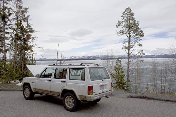
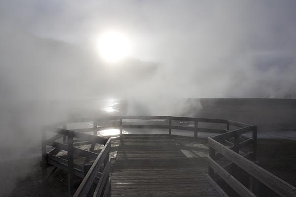
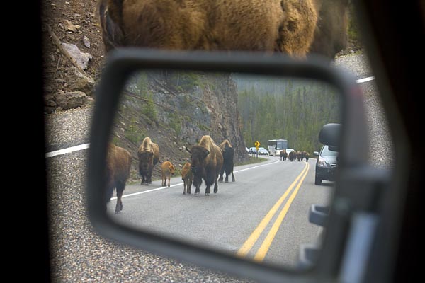
Don’t you love it when you talk about two separate things and then something happens that forces an unexpected convergence of the two? Earlier I was doing some Google Street View sightseeing of celebrity gardens. And I’ve posted a few notes (1 2) and photos from my recent Yellowstone trip.
Thanks go to Peter, who the other day pointed out that Google now has added ten parks and recreation areas to Street View, including Yellowstone! So you want to see what the view is along Yellowstone’s Firehole Lake Drive? Just drop into Street View to find out. Of course, like all things virtual, it lacks something of the actual. How will you smell the lodgepole pines or get a whiff of the sulfur fumes rising from the springs?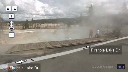
While Street View is a great tool and can let you get a low-res look at places you’d never visit, it’s really just a presentation tool for canned photography. The views are updated periodically, yes, but the periods span many months. What you’re looking at today is soooo yesterday, and in some ways it feels so Web 1.0.
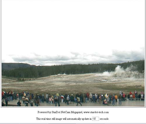
Web cams offer a complement to Street View and can provide an immediacy the former tool lacks. In fact, if you’re interested in the Old Faithful Geyser and Upper Geyser Basin at Yellowstone, there’s a recently installed web cam at the attraction, with images updated at intervals of less than a minute.
Street View does a nice job of conquering space, giving you the freedom to move around a map and see what there is to see from different locations, and web cams can conquer time by giving you almost-immediate, up-to-date views of things as they’re happening.
What’s the next killer app? What will conquer both space and time?
Will all cars have cameras and GPS installed and then have the images beamed to some central location for real-time descriptions available to anyone on the web so that you can see what things look like right now? And if that happens, who will be the central location serving up the images? Google? The Department of Homeland Security?





 These days I worry about gas prices, my
  Left: Lukas Forest Foglia: Savuth Watering [
