I guess it’s comforting that the blog doesn’t have a mind of its own and just write itself while I’m away on vacation…
Well, I’m back from points north, including 8 days in Yellowstone. Here’s a quick look at the trip now that I’ve had a chance to organize some of my tourist pictures.
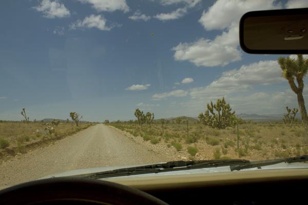
Day 1, less than an hour out of Vegas, and I’m off pavement already. I could have sworn the map showed this stretch of the road going through the Mormon Mountains as being paved, so encountering dirt so soon is a bit of a surprise.
But as you can see it’s a good dirt road, as friendly towards Buicks and Honda sedans as it is towards my Jeep, and it connects up with an equally good gravel road as shown on the map. After a few dozen miles, the gravel road hooks up with pavement, as promised. But wait: Road Closed?

The blacktop looks fresh and smooth and the stripes shiny and new, so how closed can the road be? Besides there’s no way back other than the way I came, and the gas is getting low.

Well, yeah, half a dozen times the road disappears into the dry little river—generally not a good thing for a road to do—but fortunately they’ve built gravel alternate routes around the washouts for the half-dozen locals to use. So no need to backtrack.
One of a bunch of these lazy snakes taking a Club Med riverside siesta on the warm asphalt: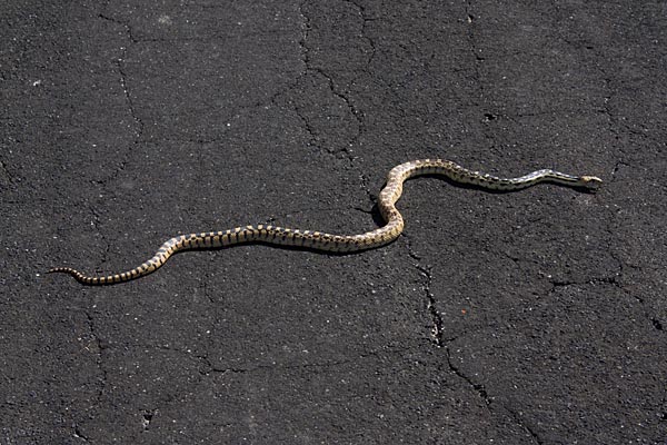
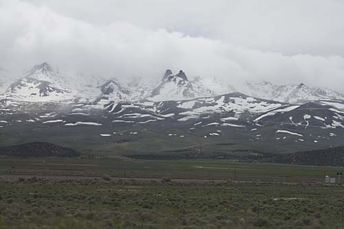
And finally the road hooks up with the Great Basin Highway, the eastern-most north-south route in Nevada. With snow-covered mountains on either side of the highway, it’s incredibly scenic. I’ve always loved California’s Highway 395 along the eastern escarpment of the Sierra Nevada, but I might now have a new favorite drive.
So, after 12 hours of driving from San Diego I’m at the first night’s destination, Great Basin National Park, on the slopes of Wheeler Peak, at 13 thousand and change in altitude the tallest in Nevada. The campground is almost 8,000 feet up, and pretty cold for the middle of May. And what’s this? Snow? Pretty exotic for someone from San Diego.
Day 2 begins with a drive up to the end of the road on Wheeler Peak, to over 10,000 feet elevation, and there the snow picks up. Then back down 3,000 feet to the peak’s caves, Lehmann Caves and year-round 50-degree comfort.
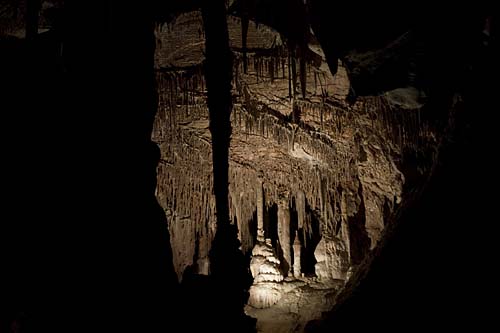
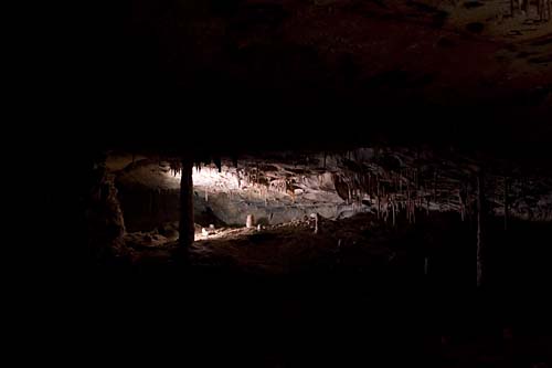
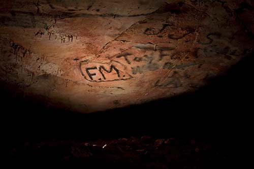
The caves are a medium-sized complex in not-pristine condition. In the early days of the caves, paying your entrance fee entitled you to break off a stalactite or two to take home. And there’s a spot where people used soot from their candles to record their initials on the roof of the cave—tacky and interestingly historical at the same time.
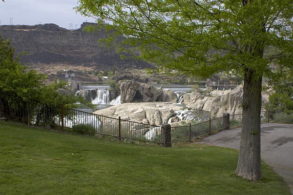
More travel on the Great Basin Highway gets me to my first real photographic destination, Shoshone Falls, which was documented by expeditionary photographer Timothy H. O’Sullivan in 1868 and 1874. For something that has been called the “Niagara of the West,” the falls were surprisingly difficult to find. They appear nowhere on the Triple-A Idaho state map, and if it weren’t for there being a street named Falls Boulevard in Twin Falls, I might not have found them. Yes, there was a sign. Partially obscured behind a tree.
O’Sullivan’s images of the falls are clear, forceful, direct depictions of a force of nature. You can feel the awe he felt as he stood on the brink.
Timothy H. O’Sullivan. Shoshone Falls, Snake River, Idaho, View Across the Top of the Falls, 1874. [ source ]

Today, what you find is a major water feature domesticated through hydroelectric impounds, and its banks have houses on one side and a bland suburban looking Frisbee and picnicking park on the other. It was like seeing a wild lion dressed up in a pink tutu and forced to walk on its hind legs. But it’s the sort of destination where the human/nature edges and collisions are dramatic, so out comes my more serious camera gear.
Next: On to Valley of the Moon, and Yellowstone.

